Enhancing GIS With Artificial Intelligence

AI Integrated Framework for Intelligent Geospatial Handling and Robust Operation in MultiGIS Applications (AI4MultiGIS)

MultiGIS | AI Principles | Trustworthy

MultiGIS Process

Data
Collection

Remote sensing, GPS surveys, and environmental sensors.

Data
Integration

Cloud storage, big data management, and spatial databases.

Multidimensional Processing

2D/3D spatial analysis, spectral analysis, and AI-based pattern recognition.

Visualization Modeling

Interactive maps, simulations, and augmented reality.

Decision-Making Implementation

Smart policy development and strategic planning.

Key Objectives

Objectives of AI4MultiGIS

The AI4MultiGIS project aims to deliver an integrated framework that optimizes the processing chain of MultiGIS data to support robust operations of GIS-enabled applications and services.

Automated Data Collection & Preprocessing

Real-Time Spatiotemporal Data Processing

Geostatistical AI Analysis & Decision Support

Responsible AI Governance & Policy Development

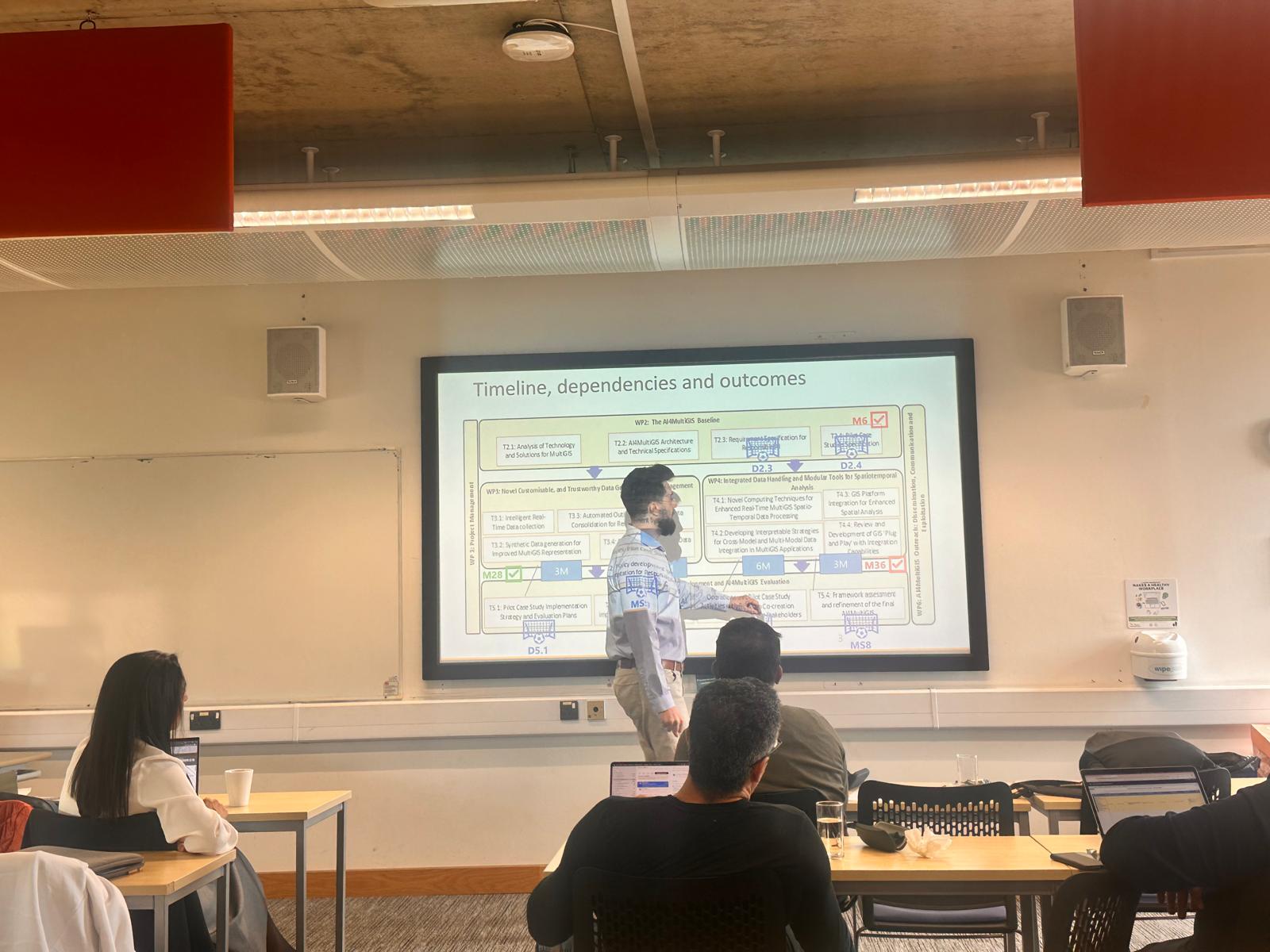
Work Packages | Deliverables

Project Update

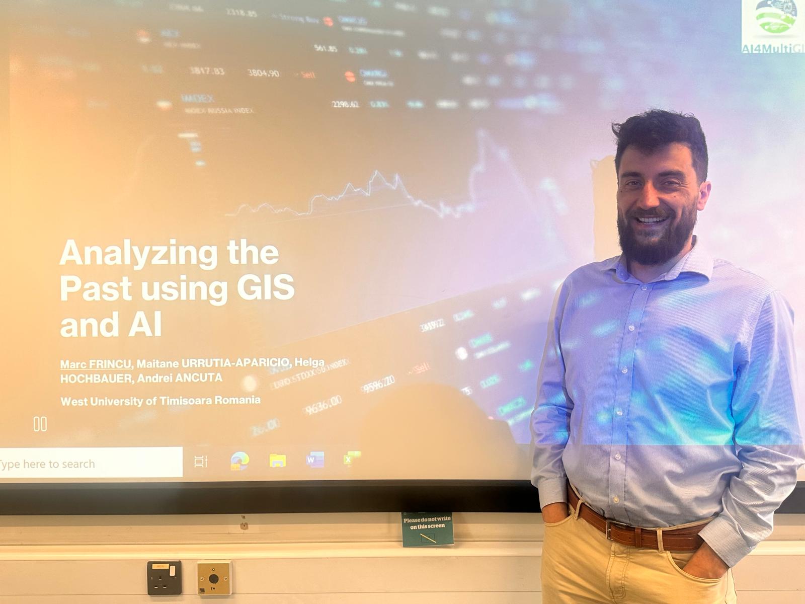
Session 1: Analyzing the Past Using GIS and AI

Speaker: Prof. Marc Frincu (West University of Timisoara, Romania)

  • Harnessing multispectral satellite images for archaeology & climate research
  • Semi-automated skyscape analysis using AI
  • Applications in heritage preservation and site classification

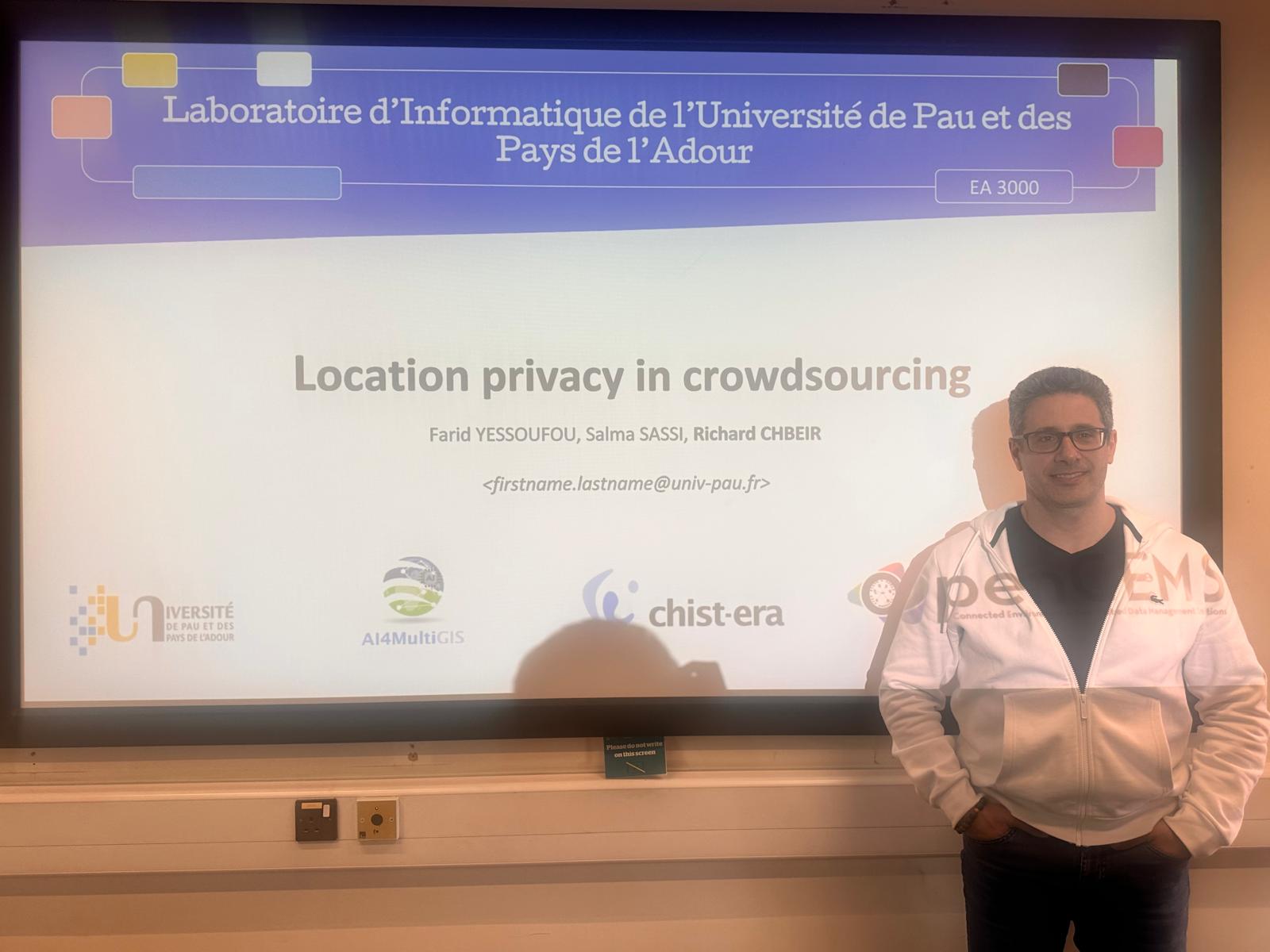
Session 2: Preventing Inference Attacks in Crowdsourcing

Speaker: Prof. Richard Chbeir (University of Pau and Pays de l’Adour, France)

  • Addressing privacy risks in geolocated data sharing
  • Context-aware anonymization using Bayesian networks
  • Protecting personal data while preserving utility in urban and mobility analysis


Events

Past Event

AI for MultiGIS Workshop

Upcoming Event

AI-Driven MultiGIS 2025 Workshop